
Navigate The Wilderness With Our Trusted Outdoor Guidance
Explore, Experience, Enjoy.


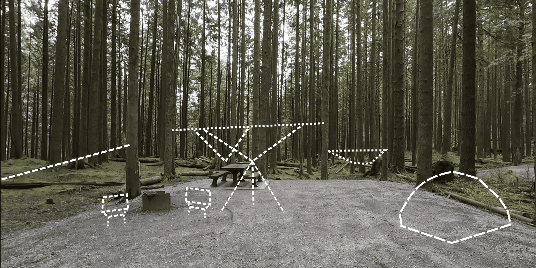
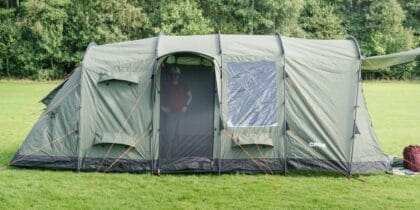
Newbie Camper? You Need a Camping Checklist!
Ready for camping but terrified of forgetting something crucial? Fret not! We’ve curated an ultimate camping checklist designed specifically to beat that “I’ve forgotten something” feeling. Check it out for some anxiety-free camping.

Fresh Off the Press
Recommended Reading
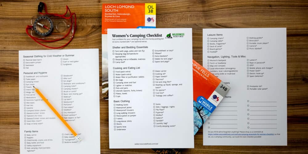
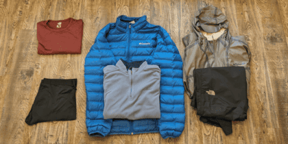
Camping Essentials For Women [Girls’ Checklist + PDF]
27 Camping Activities for Kids – Games Included!
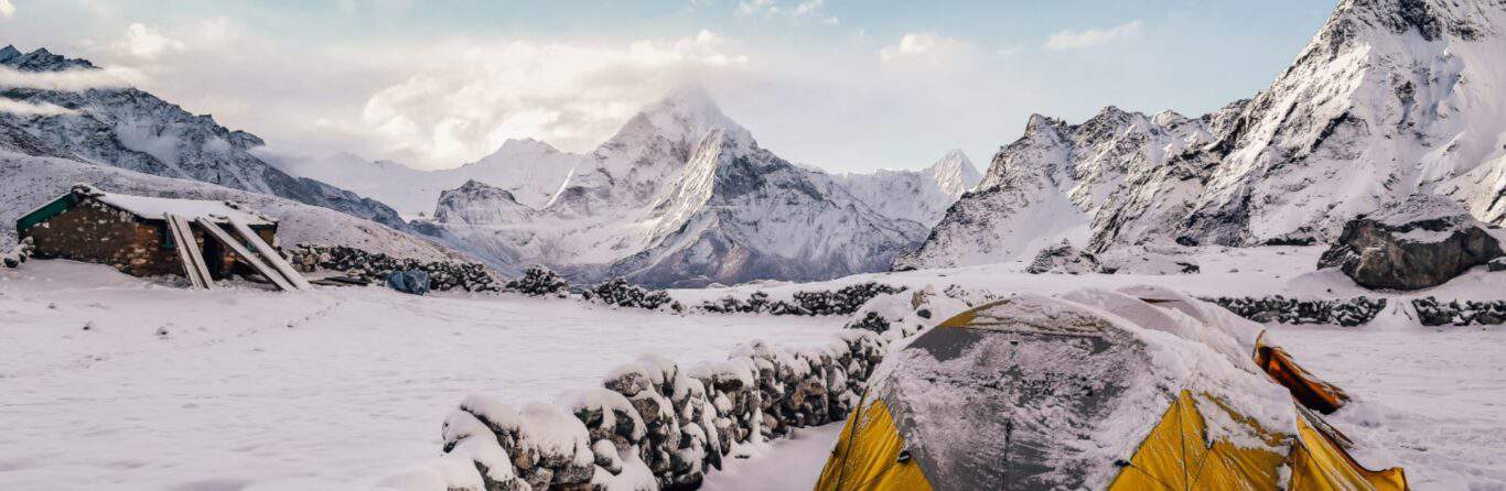
How To Go Winter Camping (And Survive!)
Our Mission
At Wilderness Redefined, we aim to inspire a love for the outdoors through trusted guides, expert advice, and reliable reviews. We champion the transformative power of nature, striving to make your outdoor adventures in the stunning wilderness both accessible and unforgettable.


Popular Articles
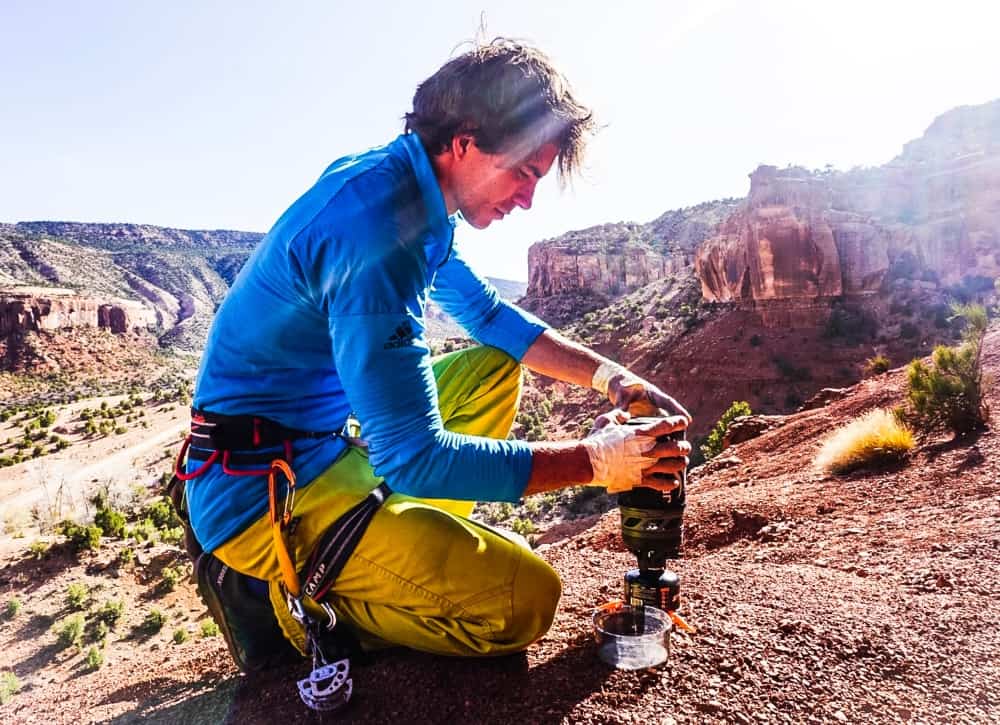
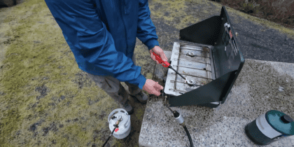
How long does Jetboil fuel last? (Solved)
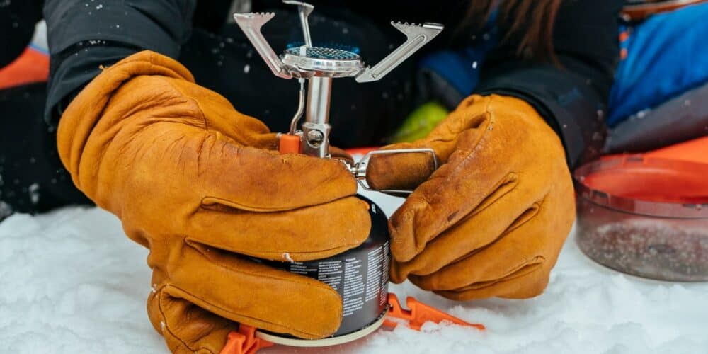
What fuel does Jetboil use? Compatibility & Alternatives
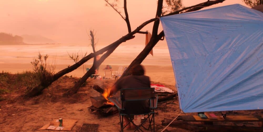
Tarp Shelter Ideas – 10 EASIEST DIY Tarp Tents Of 2024